Real Estate
Listing photos and cinematic flyovers that show the home, the lot, the shoreline and the neighborhood in a single view.

41°49′N · 71°24′W · Rhode Island
We blend artistic creativity with data-driven expertise, delivering stunning aerial photography and videography solutions for all of your real estate, mapping, orthomosaic and construction monitoring needs.
Services
Every flight is planned for two results: imagery that looks beautiful, and data you can measure, map and build from.
Listing photos and cinematic flyovers that show the home, the lot, the shoreline and the neighborhood in a single view.
Accurate aerial maps of sites and parcels for planning, permitting, surveying support and land management.
Hundreds of overlapping images stitched into one geometrically corrected, high-resolution image you can measure from.
Scheduled flights from groundbreaking to completion that document progress for owners, builders and lenders.
Portfolio
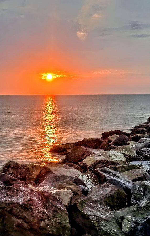
Lighthouses, launches, surf, wildlife, farmland and night skies. Tap any image to view it full screen.
About ROV Digital Media
ROV Digital Media was born on the Space Coast of Florida, and our Rhode Island roots keep us deeply connected to the shoreline. We pair an artist's eye with the discipline of a data team. Some clients need a sunset flyover that sells a waterfront listing. Others need a measurable orthomosaic of a job site every two weeks. We deliver both with the same care.
From coastline to farmland and every city and town in between, we fly Rhode Island and southern New England—planning each mission around light, tide, weather, and airspace.
Contact
Tell us the location, the timeline and what you need captured. We'll check the airspace and send you a quote.